Phases of Expansion
Roman Lutetia established a cardo and decumanus on the Left Bank heights. Medieval growth filled the Right Bank marshes, while university quarters clustered around Notre-Dame's intellectual orbit.
Each expansion phase left morphological traces — ring roads follow wall lines; market streets preserve former suburb lanes.
Haussmann and State-Led Modernisation
Napoleon III entrusted Baron Haussmann with cutting wide boulevards, sewer systems and uniform housing typologies. The programme eased military movement, improved hygiene and valorised property along new axes.
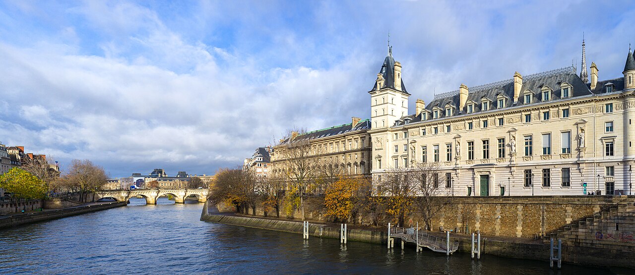
Île de la Cité itself was partially cleared of non-monumental buildings to monumentalise cathedral approaches and judicial facades.
Seine Embankments and Quays
Quai walls lowered flood vulnerability and created continuous riverside roads. Port activities relocated downstream as rail freight dominated — reshaping Seine watercraft economies.
Haussmann demolition destroyed medieval neighbourhoods documented only in prints and archaeology — modern heritage law now scrutinises similar interventions.
Twentieth-Century Plans
Post-war modernists proposed highways along the Seine; citizen campaigns limited riverside expressways and preserved quay vistas. Mitterrand-era grands projets added Louvre Pyramid and Musée d'Orsay adaptive reuse.
Contemporary Issues
Pedestrianisation of voies sur berges, climate adaptation and housing affordability debates continue Haussmann's legacy of state-directed urban form. Island security and tourism management intersect with Notre-Dame restoration timelines.
- Roman grid and medieval suburban infill
- Haussmann boulevards 1853–1870
- Seine quay walling and port relocation
- Late twentieth-century heritage and mobility campaigns