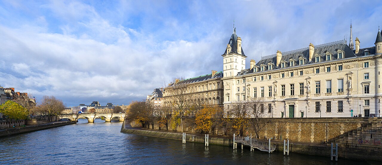
Island as Administrative Hub
Medieval Paris radiated from the Île de la Cité, where the prévôt administered markets, bridges and river tolls. Rue de la Cité formed the island spine linking cathedral, palace and port landings.
Water levels dictated cellar heights and quay construction — many buildings retained river access stairs until embankment works narrowed the channel.
Philip Augustus and the Enceinte
Philip II (Philip Augustus) enclosed the Right Bank with a stone wall between 1190 and 1215, fortifying a city swollen by trade and university growth. Remnant towers and wall faces still appear in parking basements and courtyards.
The Left Bank received its own wall under Charles V, shifting the urban frontier as colleges and monasteries expanded southward.
Parishes, Markets and Guild Streets
Each parish clustered around a church with narrow, name-coded streets — rue des Boulangers, rue des Lombards — reflecting specialised trades. Les Halles central market drew produce by river and road until its nineteenth-century relocation.
River Commerce
Port de la Grève and downstream landings handled timber, wine and grain. Regulations governed boat mooring, crane use and night lighting along the Seine.
Fire, Plague and Rebuilding
Repeated fires — including the Great Fire of 1620 on the Pont au Change approach — reshaped timber districts. Stone construction mandates gradually spread, though poor districts retained wooden galleries until Haussmann clearance.
Follow rue François Miron's surviving medieval house facades and the Marais wall fragments to read Paris stratigraphy without a map.
From Medieval Matrix to Modern Boulevards
Baron Haussmann's mid-nineteenth-century cuts destroyed much medieval fabric but preserved island monuments. Modern planners still negotiate archaeological review when metro lines and basements disturb Gallo-Roman and medieval layers.